 |
 |
|||||||||||||||||||
|
||||||||||||||||||||
|
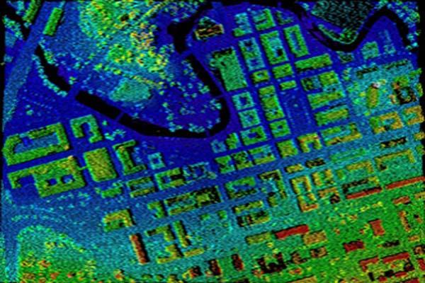
Light Detection and Ranging or LiDAR is a mapping method in which the distance to the ground is measured from an airborne platform by means of a laser scanner. This scanning process generates a considerable amount of so-called point cloud consisting of points with position (x, y and z) and altitude information. Typically two models are composed from the points, DTM (Digital Terrain Model) and DSM (Digital Surface Model). These point clouds can be filtered and classified to generate very accurate DTM (Digital Terrain Model), DSM (Digital Surface Model) and for a variety of GIS-applications like flood plane modeling, analyzing forests, determining the height of power lines, hydrological modeling and for 3D city models. In order for the laser scanning data to be useful, for example to generate terrain models, every single point in the point cloud must be classified to categorise the points that hit the terrain. There is a number of softwares that classify the points automatically. But to obtain an acceptable quality manual checking is almost unavoidable. Decode has developed it's own workflow first to classify the data automatically, then check them manually to produce an acceptable quality data that meets the requirement of the client. |
 |
||||||||||||||||||
 |
||||||||||||||||||||
 |
||||||||||||||||||||
 |
||||||||||||||||||||
|
|
||||||||||||||||||||
| webmaster |
|
Home |
|
Sitemap |
|
© Decode 2021 |